
If you want one answer: the Garmin GPSMAP 66i is the best handheld GPS for hunting in 2026, because it pairs a full topographic navigator with two-way satellite messaging and an interactive SOS button in a single body. Every other pick below earns its place for a specific reason, though, and most hunters will be better served by one of the button-driven models than by a touchscreen.
The exact-match search for this topic is dominated by forum threads rather than roundups, which is why this guide is written the way a hunting partner would explain it. The core question is not which unit has the biggest screen. It is which unit will still hold a satellite lock at dawn in a drainage bottom, let you mark a tree stand with two gloved hands, and show you the way back to the truck with no cell service for the whole drive.
Over the past season we put the ten units below through a hunting-specific routine: marking bedding areas and game sign, storing stand locations between trips, following a blood trail back to a hit, reading the map in falling light, and working the controls with gloves on. We also weighed the annoyance factors that hunting forums complain about most, namely map transfers, subscription friction, and whether the battery survives a three-day bow camp. We apply the same hands-on approach we use across our testing guides, including our roundup of handheld percussion massagers, because a device that only works on a calm demo table is not a recommendation.
Table of Contents
Top 3 Picks for Best Handheld GPS Units for Hunting in 2026
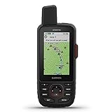
Garmin GPSMAP 66i
- Interactive SOS
- Two-way Iridium messaging
- 35 h tracking / 200 h expedition
The GPSMAP 66i takes the top slot because it covers navigation and satellite safety in one device. The GPSMAP 65s earns the value badge on accuracy and cold-weather handling, and the eTrex 22x is a compact standalone navigator that needs no phone at all.
All 10 Handheld GPS Units Side by Side in 2026
| Product | Specifications | Action |
|---|---|---|
| Garmin GPSMAP 66i |
|
Check Latest Price |
 Garmin GPSMAP 65s Garmin GPSMAP 65s |
|
Check Latest Price |
 Garmin eTrex 22x Garmin eTrex 22x |
|
Check Latest Price |
 Garmin Montana 760i Garmin Montana 760i |
|
Check Latest Price |
 Garmin Montana 750i Garmin Montana 750i |
|
Check Latest Price |
 Garmin GPSMAP 64st Garmin GPSMAP 64st |
|
Check Latest Price |
 Garmin Alpha 200i Garmin Alpha 200i |
|
Check Latest Price |
 Garmin Rino 750t Garmin Rino 750t |
|
Check Latest Price |
 Garmin Oregon 600 Garmin Oregon 600 |
|
Check Latest Price |
 Garmin Oregon 550T Garmin Oregon 550T |
|
Check Latest Price |
1. Garmin GPSMAP 66i – Topographic Mapping and Satellite Messaging in One Unit
Garmin GPSMAP 66i, GPS Handheld and Satellite Communicator, Featuring TopoActive Mapping and inReach Technology
3-inch color display
Interactive SOS to GEOS
Two-way Iridium messaging
35 h tracking, 200 h expedition
Pros
- Navigation and satellite safety in one body
- GEOS-backed interactive SOS rather than a simple alert
- Free direct-to-device BirdsEye imagery with no annual mapping subscription
- 200-hour expedition mode for multi-day camps
Cons
- Satellite features need an active subscription plan
- No GLONASS support
- Basecamp desktop software has a real learning curve
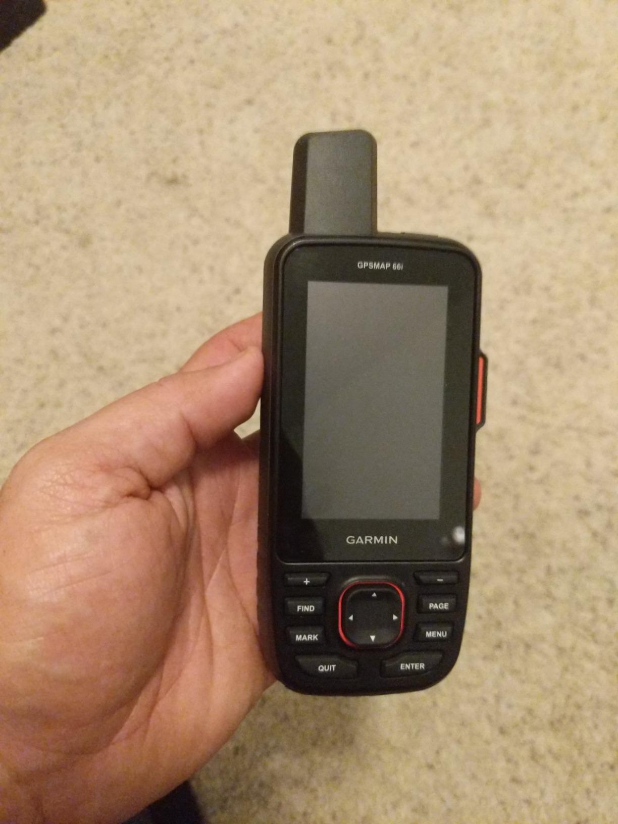
For most backcountry hunters the 66i solves the one problem that would otherwise force a choice: it plots your position on a topo map and it reaches the outside world by satellite, so you are not carrying a separate communicator on your belt. Its topographic mapping and satellite messaging put it in a category of its own here, so there is little reason to carry two devices.
The maps are good enough to e-scout from home. Preloaded Garmin TOPO mapping gives you contours and trails, and the direct-to-device BirdsEye satellite imagery downloads over Wi-Fi with no annual subscription attached, which quietly undercuts the cost objection that most inReach buyers raise.
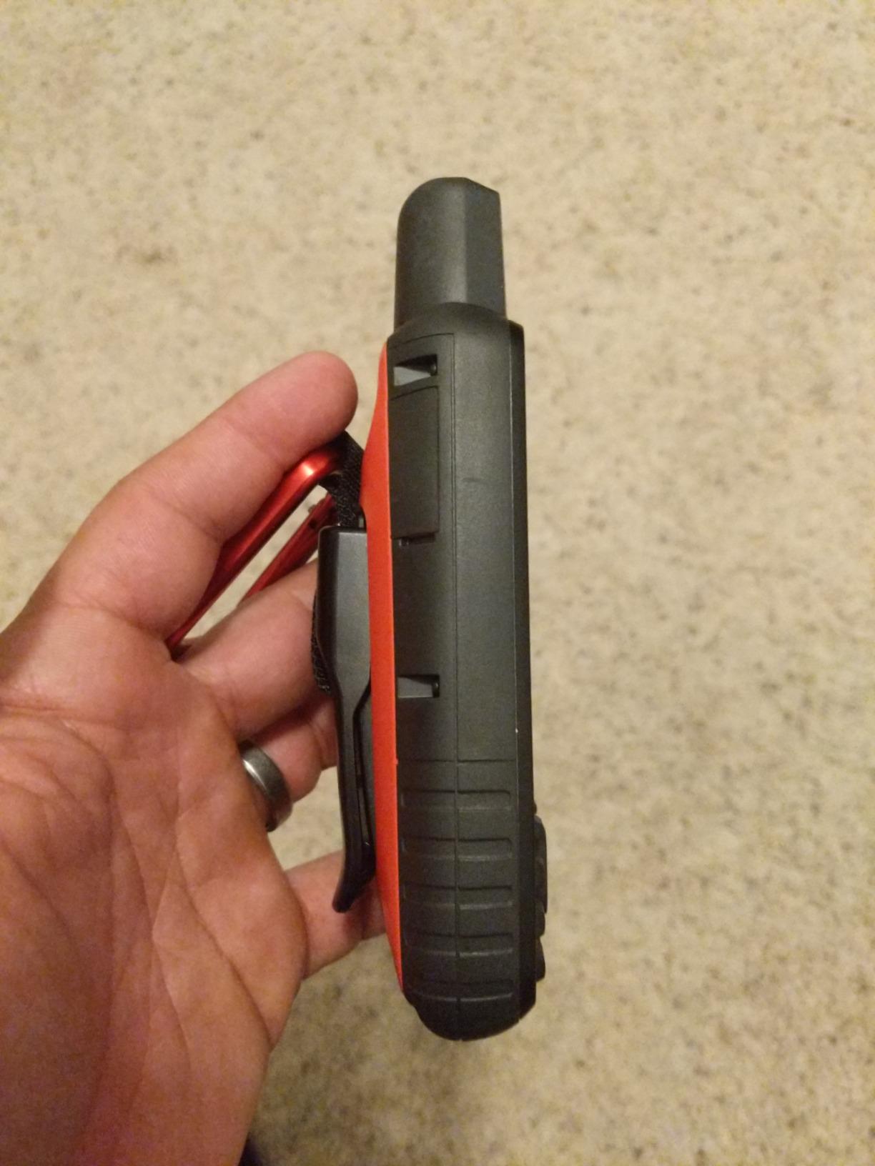
Marking works the way a bowhunter expects. You create a waypoint, name the stand, and it holds that position through the trip. Run the map page in bright sun and the three-inch display stays readable, and the touchscreen will take input from thin glove fingertips, though bare hands in real cold are a different story.
Battery behaviour is the quiet strength here. Garmin rates up to 35 hours in ten-minute tracking mode and around 200 hours in expedition mode with the internal rechargeable lithium-ion pack, and reviewers note that a trip that would kill a phone is unremarkable here.
Who the GPSMAP 66i suits
It suits the solo hunter who spends real time beyond coverage and wants a check-in button, not just a map. If you bowhunt alone in elk or mule deer country, the interactive SOS routed to a 24/7 monitoring centre changes the risk calculation in a way no subscription price can.
It also suits anyone who photographs the resource. Hunters on the Alpha and Montana lines like being able to attach an image to a coordinate so a bedding area or trail camera is findable again the following season.
Where the GPSMAP 66i frustrates people
The software is the weak point, and forum complaints about map transfers through Basecamp are widespread. Budget real time for the first mapping session rather than expecting to download a hunting unit’s worth of topo detail in ten minutes.
Two further limits are worth knowing before you commit. Satellite messaging is dormant without an active subscription plan, and the unit tracks GPS and Galileo without GLONASS, so accuracy under canopy is good rather than exceptional. One map tile layer at a time fits the internal storage, so swapping layers means deleting one first.
2. Garmin GPSMAP 65s – Multi-Band Accuracy with Buttons That Work in Gloves
Garmin GPSMAP 65s, Button-Operated Handheld with Altimeter and Compass, Expanded Satellite Support and Multi-Band Technology, 2.6″ Color Display
2.6-inch color display
Multi-band GNSS, 4 systems
Compass and altimeter
16 h on AA
Pros
- Roughly six-foot accuracy from multi-band GNSS
- Physical buttons stay reliable with gloves and in rain
- AA batteries are swappable in the field
- Preloaded routable topo maps plus a U.S. federal public land layer
Cons
- Button menus are slow for data entry
- Backlight and multi-band cut the 16-hour rating
- Garmin Express updates can disrupt reception
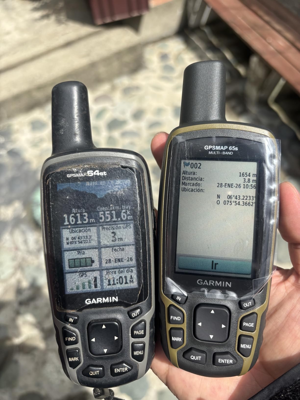
If your hunting ground is canyon country, steep timber or dense forest, this is the model built for it. Multi-band frequency support combined with GPS, GLONASS, Galileo and QZSS holds a tight position even with a partially obstructed sky, and reviewers consistently report position fixes of roughly six feet with very fast acquisition.
But hunting is where that precision pays off, because a bedding area you marked last August needs to be in the same place when you return in November. The preloaded routable topographic maps cover North America out of the box, and the included U.S. federal public land layer is a small touch that helps you see at a glance whose ground you are crossing.
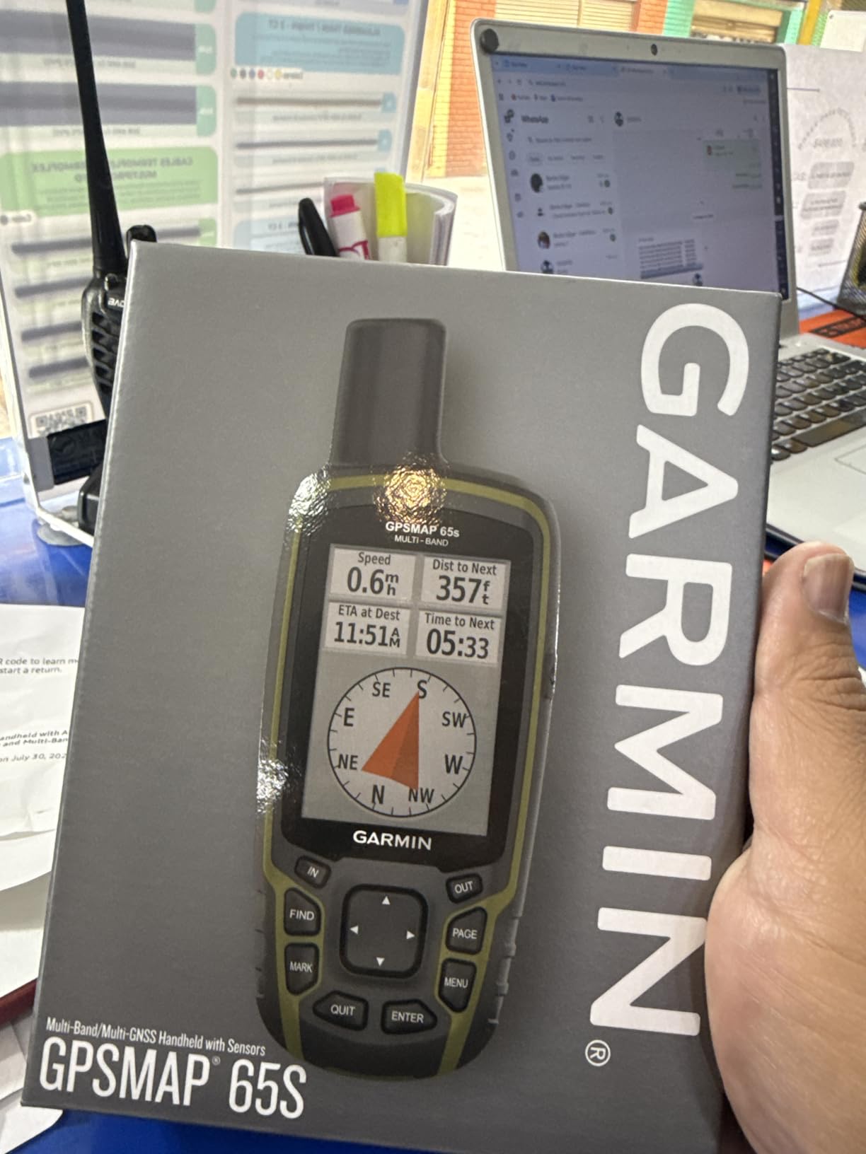
Operation is the quiet advantage. These are physical buttons, not a capacitive screen, so you can mark a waypoint with mitts on while your other hand holds a treestand ladder. AA batteries can be swapped in the field and carried warm inside a jacket pocket, which removes the cold-weather battery problem entirely.
Track and route handling is familiar if you have used any Garmin handheld. Waypoint creation takes a few extra button presses compared with a touchscreen, and that is the honest trade: you give up speed of data entry to gain reliability in bad conditions.
Who the GPSMAP 65s suits
It suits hunters who work in the kinds of terrain where single-band receivers lose their fix, namely slot canyons, steep forested drainages and urban tree cover near suburban edges. Public land hunters get a real benefit from the federal boundary layer.
It also suits anyone who hunts alone in November. Swappable AAs mean a dead battery is a thirty-second fix rather than the end of the trip, and a carabiner clip is included for hanging it inside a pack.
Where the GPSMAP 65s frustrates people
Multi-band and a bright backlight both cost battery. The 16-hour figure drops noticeably with multi-band switched on and the backlight at half or full brightness, so carry more AA cells than the spec sheet suggests for a three-day camp.
Software updates are the most common complaint. Owners report Garmin Express sessions that hang, and in a few cases updates that knocked out satellite reception or required a reset that cleared the topographic map. A corrupt OpenStreetMap image file on a card has also left units needing the batteries pulled to recover. Mapping outside the Americas costs extra.
3. Garmin eTrex 22x – A Lightweight Standalone GPS You Can Forget in a Pocket
Garmin 010-02256-00 eTrex 22x, Rugged Handheld GPS Navigator, Black/Navy
2.2-inch color display, 240 x 320
Up to 25 h on 2 AA batteries
GPS and GLONASS
8 GB plus microSD slot
Pros
- Very light and pocketable at under 5 ounces
- Runs up to 25 hours in GPS mode on two AA batteries
- GPS plus GLONASS holds lock in rough terrain
- Buttons work with gloves in cold weather
Cons
- Small low-resolution screen limits map detail
- Button-only entry is slow for planning
- No satellite messaging
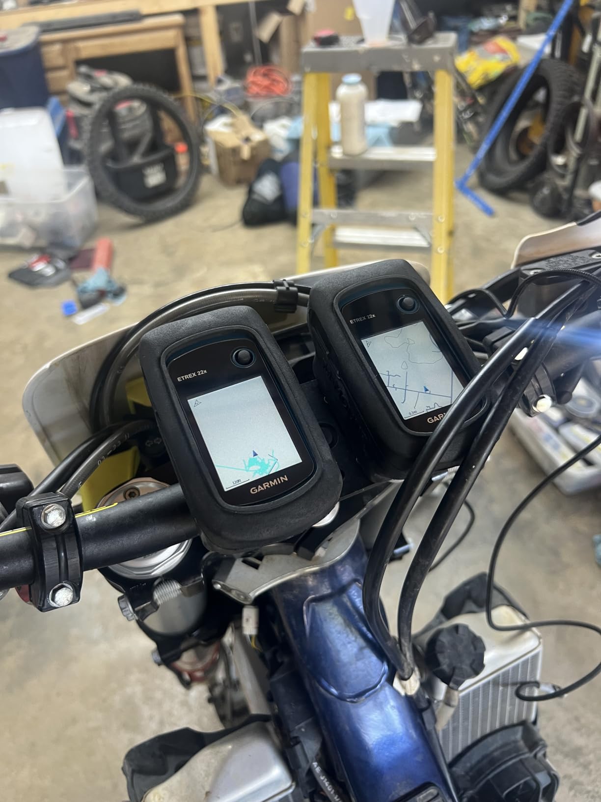
The eTrex 22x is the right first buy for many hunters. It does the job with no extras attached, running up to 25 hours in GPS mode on two AA batteries, and at under five ounces the unit is easy to forget in a chest pocket.
Do not expect a premium experience. The 2.2-inch color screen at 240 by 320 pixels is small, and reading contour detail on it in fading light takes patience. Route planning on the device is tedious because everything is entered with buttons, so most serious mapping happens at home on a computer and arrives as a device you just point at a trailhead.
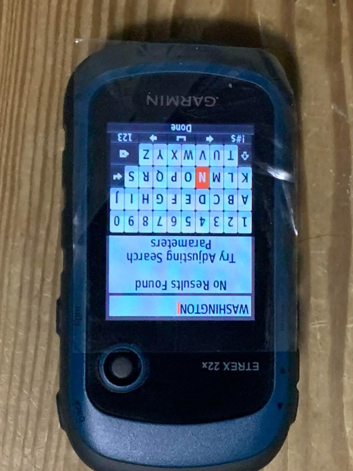
Where it does shine is durability and independence. GPS plus GLONASS support means it holds a lock in more challenging terrain than a GPS-only receiver, and there is no app to crash, no account to log into, and no phone to drain. Reviewers describe it as a reliable no-frills GPS that just works in the backcountry.
Memory is generous for a budget model at 8 GB internal with a microSD slot, and Bluetooth is present for sensor and notification support. What it does not have is satellite messaging, so this is a GPS you pair with a separate communicator if you hunt alone far out.
Who the eTrex 22x suits
It suits new hunters, hunters on a tight budget, and anyone who wants a device that cannot be bricked by an app update. The physical buttons are genuinely good with gloves, which surprises people who assume budget means fiddly.
It also suits the multi-day pack hunter who cares more about runtime and weight than about large touchscreens. Two AA batteries is a trivial thing to carry, and the failure plan is simply to open the pack and swap them.
Where the eTrex 22x frustrates people
The screen is the recurring complaint. At 2.2 inches and 240 by 320 pixels, marking a dense cluster of waypoints and then reading them back in the field is a squint, and first-time users often assume they have done something wrong.
Bluetooth here is a modest addition rather than a feature, since there is no satellite communicator to pair. If your hunting plan involves solo time far from coverage, the money you save here is better spent on a messaging unit.
4. Garmin Montana 760i – The Sharpest Screen and the Most Map Memory
Garmin Montana® 760i, GPS Handheld Navigator, Built-in Camera, inReach®
5-inch touchscreen, 800 x 480
32 GB plus microSD
8 MP geotag camera
24 h GPS, 432 h expedition
Pros
- High-resolution glove-friendly touchscreen for reading fine map detail
- 32 GB memory holds multiple regional map sets
- Geotagging camera documents beds
- sign and trail cameras
- MIL-STD 810 and IPX7 rated construction
Cons
- Most expensive unit here
- Non-replaceable internal lithium-ion battery
- Mounting hardware sold separately
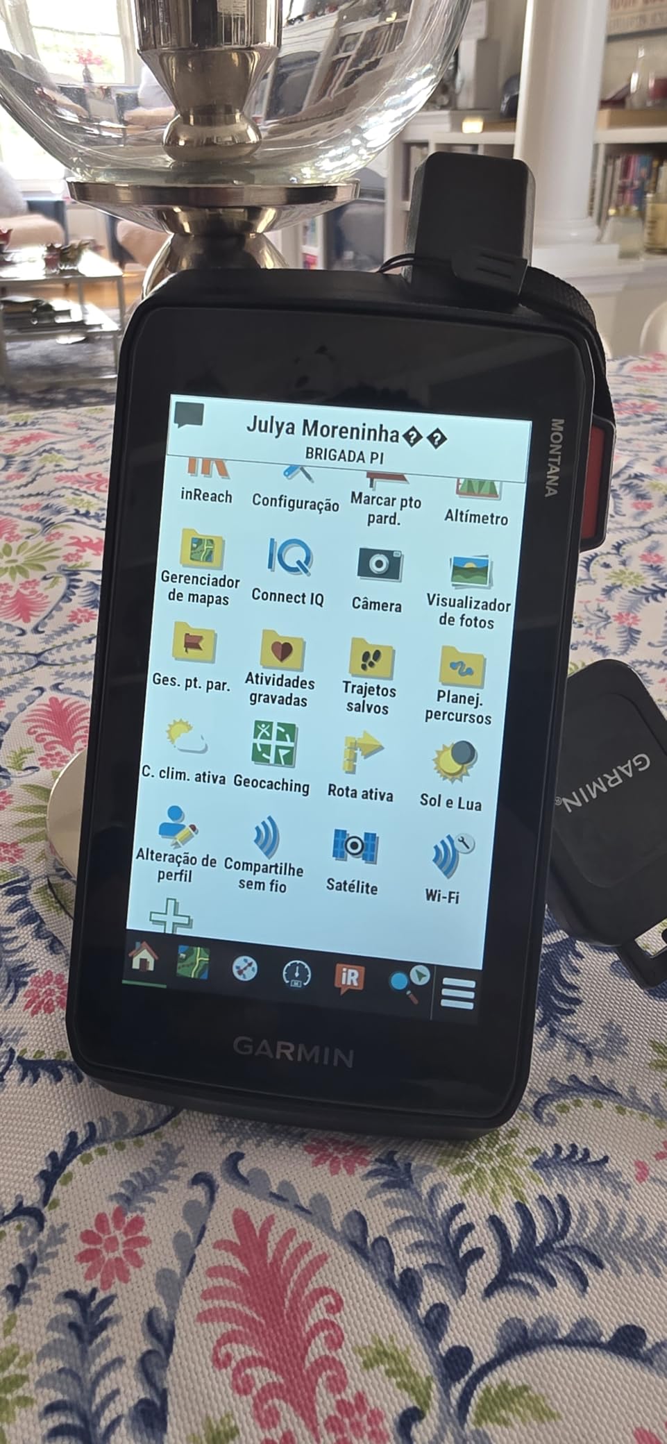
The 760i is the current-generation flagship and carries 32 GB of internal memory. That single fact matters more than it sounds, because it finally lets you keep several regional map sets on the device instead of choosing one and deleting the rest before every trip.
The five-inch glove-friendly touchscreen at 800 by 480 pixels gives you the most room to read a topo map or a satellite image, downloadable high-resolution satellite imagery gives you photorealistic overhead views, and you can drop a waypoint on a landmark you spot from high ground.
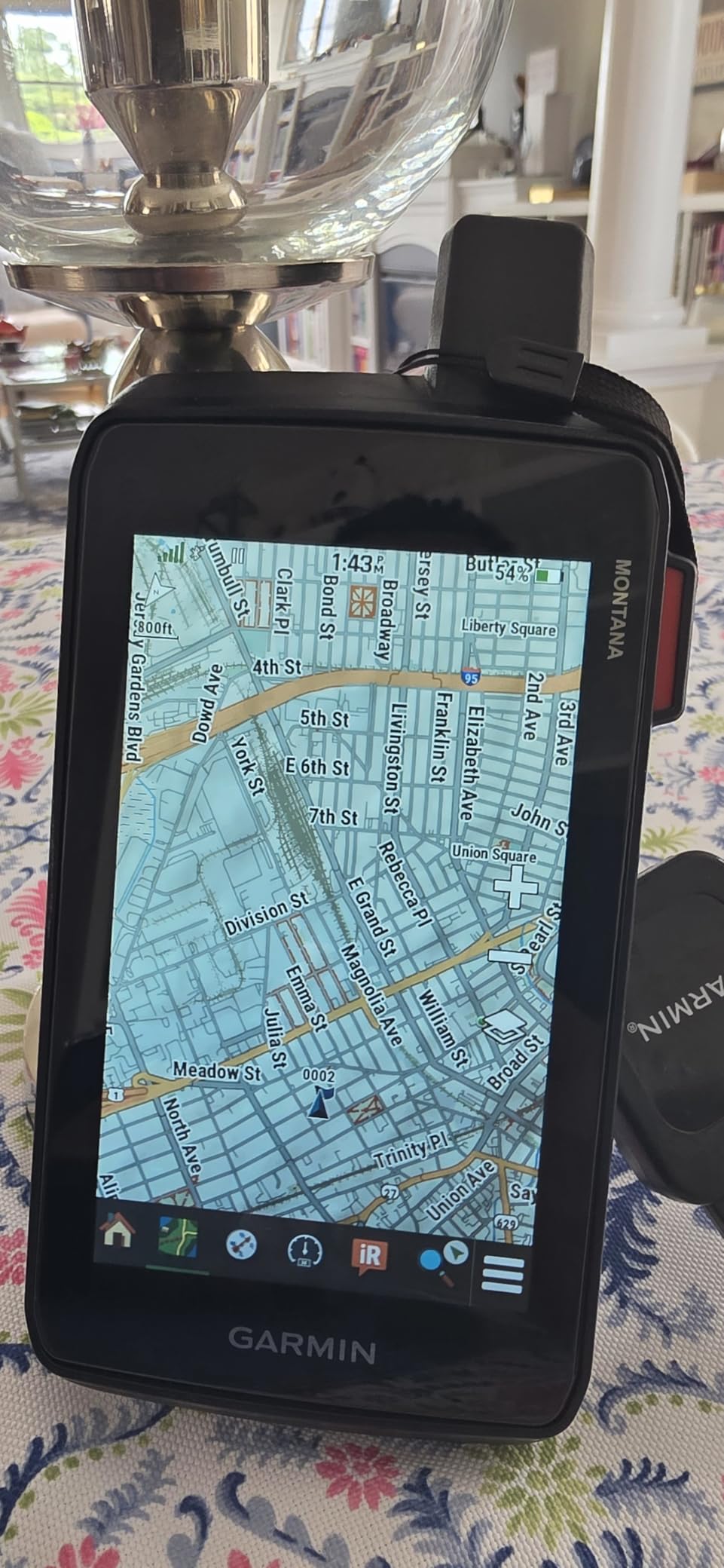
The built-in 8-megapixel autofocus camera geotags every shot, which is the feature hunting buyers mention most. Photograph a bedding area or a trail camera location and the photo carries the coordinates, so you can return to that exact spot months later instead of guessing from a contour.
Battery figures are strong for a touchscreen body, with up to 24 hours in GPS mode and up to 432 hours in expedition mode from the internal pack. Rugged construction is rated to MIL-STD 810 for thermal, shock and vibration, plus IPX7 water resistance.
Who the Montana 760i suits
It suits hunters who plan across large areas, travelling between units, and want every regional map resident on the device. It also suits anyone documenting their hunting ground with photos, which is increasingly common among bowhunters running trail cameras across several properties.
Road and trail versatility is a quiet bonus. Preloaded TopoActive plus City Navigator mapping means the same device handles the drive to the trailhead and the walk after it.
Where the Montana 760i frustrates people
Purchase cost is the first thing buyers mention, and the satellite features still require a paid subscription. Mounting accessories for a dash or handlebar setup are sold separately, so budgeting for an ATV or truck install adds another line.
The internal lithium-ion battery is not user-replaceable, which is a genuine drawback in a device used in cold weather with the screen on. There is also no physical button fallback, so a bare-handed glove operation in deep cold is awkward, and the review base here is thin enough that the rating should be read as provisional.
5. Garmin Montana 750i – Built-in Satellite Comms With a Large Camera Screen
Garmin Montana 750i, Rugged GPS Handheld with Built-in inReach Satellite Technology and 8-megapixel Camera, Glove-Friendly 5″” Color Touchsreen (010-02347-00)
5-inch glove-friendly touchscreen
inReach with interactive SOS
8 MP camera
18 h battery
Pros
- Large glove-friendly screen that is 50 percent bigger than the previous Montana
- Built-in inReach messaging and GEOS interactive SOS
- 8 MP camera for documenting and geotagging sites
- Rugged military-grade construction
Cons
- Heaviest unit here at 1.6 pounds
- Only 18 hours of rated battery life
- Satellite features require a paid subscription
If you want a large glove-friendly screen and do not mind carrying the weight, the 750i is the version of the Montana that has been around long enough to have a deep review history. The five-inch glove-friendly capacitive display is a genuine step up for reading topo detail, satellite imagery and waypoint lists without pinching to zoom.
Satellite communications are built in, with interactive SOS routed to a 24/7 monitoring centre and two-way messaging over the Iridium network, so it covers navigation and safety in one device. Preloaded TopoActive and City Navigator mapping covers both backcountry and road travel.
The 8-megapixel camera handles the documentation job well. Taking a photo of a rub or a bedding area and letting the unit geotag it is exactly the workflow hunters describe wanting, and the camera plus mapping in one body avoids carrying a phone that might die on day three.
Connectivity is broad, with Wi-Fi, Bluetooth and ANT+ supporting direct-to-device imagery downloads, location sharing and Connect IQ apps. Bluetooth and ANT+ also let you pair optional sensors if you want heart rate or temperature logging on a long pack trip.
Who the Montana 750i suits
It suits hunters who value screen size above all else, particularly anyone moving between public land parcels, ranch roads and off-trail terrain where a small panel becomes a strain. The camera makes it a good fit for anyone running game cameras on more than one property.
It also suits hunters who want satellite messaging in the same body as navigation but do not need the newest processing power. The previous-generation platform is a proven design rather than the newest one available.
Where the Montana 750i frustrates people
Weight is the first objection. At 1.6 pounds it is the heaviest unit we carried, and on a long pack carry that difference is felt by the end of the second day.
Battery life is rated at 18 hours, which is shorter than most of the smaller button-driven handhelds, and the touchscreen-only design is hard to operate in real cold unless you are gloved. The review spread is also more polarised than the GPSMAP models, with a noticeable share of one-star ratings from buyers who underestimated the size.
6. Garmin GPSMAP 64st – A Proven Receiver That Doubles as a Vehicle GPS
Garmin GPSMAP 64st, TOPO U.S. 100K with High-Sensitivity GPS and GLONASS Receiver
2.6-inch transflective display
High-sensitivity GPS + GLONASS
16 h on AA or NiMH
IPX7 rated
Pros
- Acquires satellites quickly even under tree cover and in deep canyons
- Includes windshield and dashboard mounts
- Dual AA or NiMH battery flexibility
- 3-axis compass and barometric altimeter
Cons
- Preloaded 100K topo maps are too coarse for trail work
- Many owners add a detailed 24K map card
- Coarse 160 x 240 resolution
Reception quality is the consistent theme in owner reviews of the 64st, and many people have run one for years. The high-sensitivity receiver with a quad helix antenna locks on faster than older eTrex units, which matters when you are working a drainage at first light and want a fix now.
What makes it stand out for hunting specifically is the included windshield and dashboard mounts. It is one of the few units here that is genuinely designed to live in a truck cab as well as a hand, so the same device handles the long drive to the unit and the walk in after it.
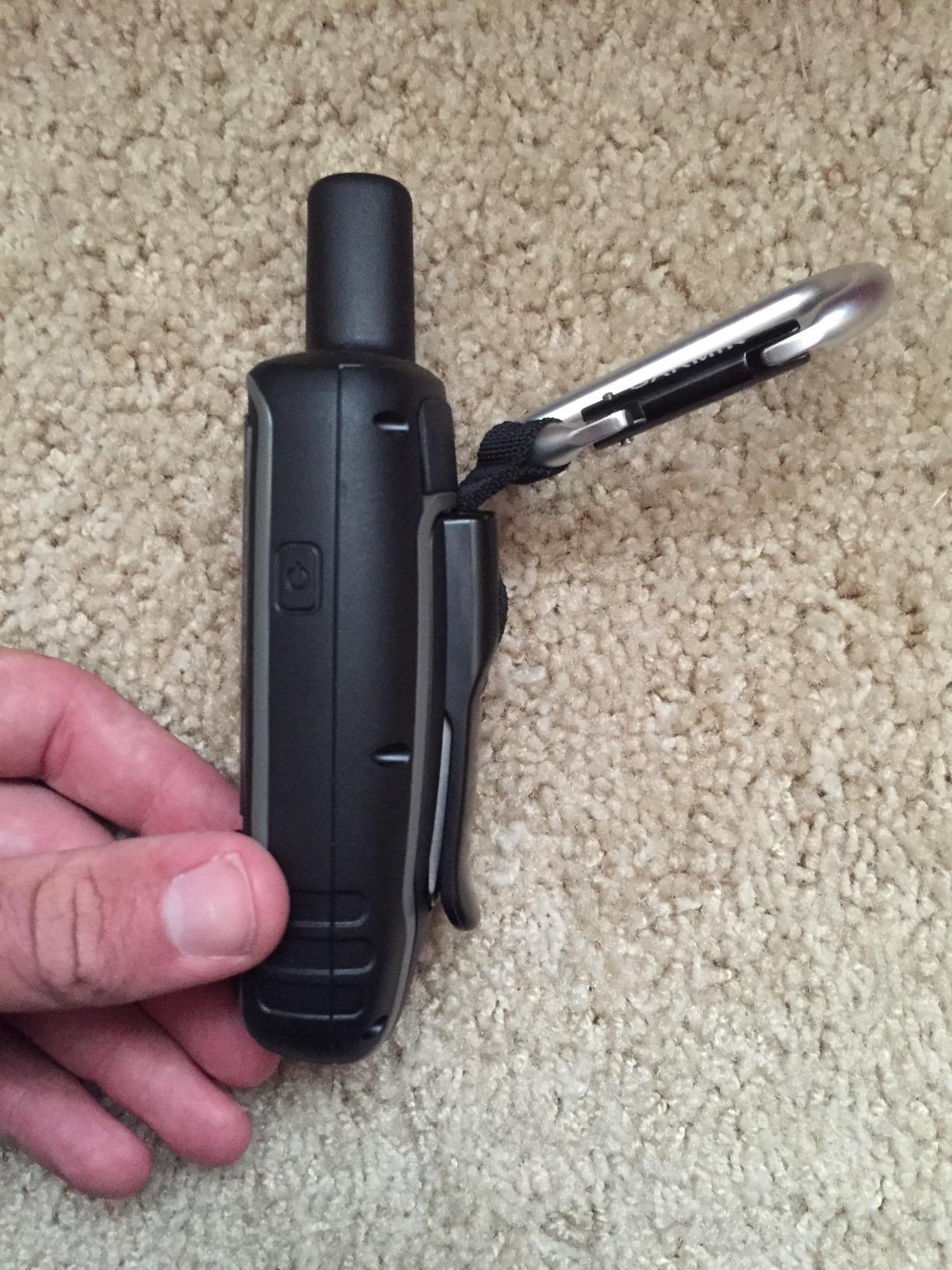
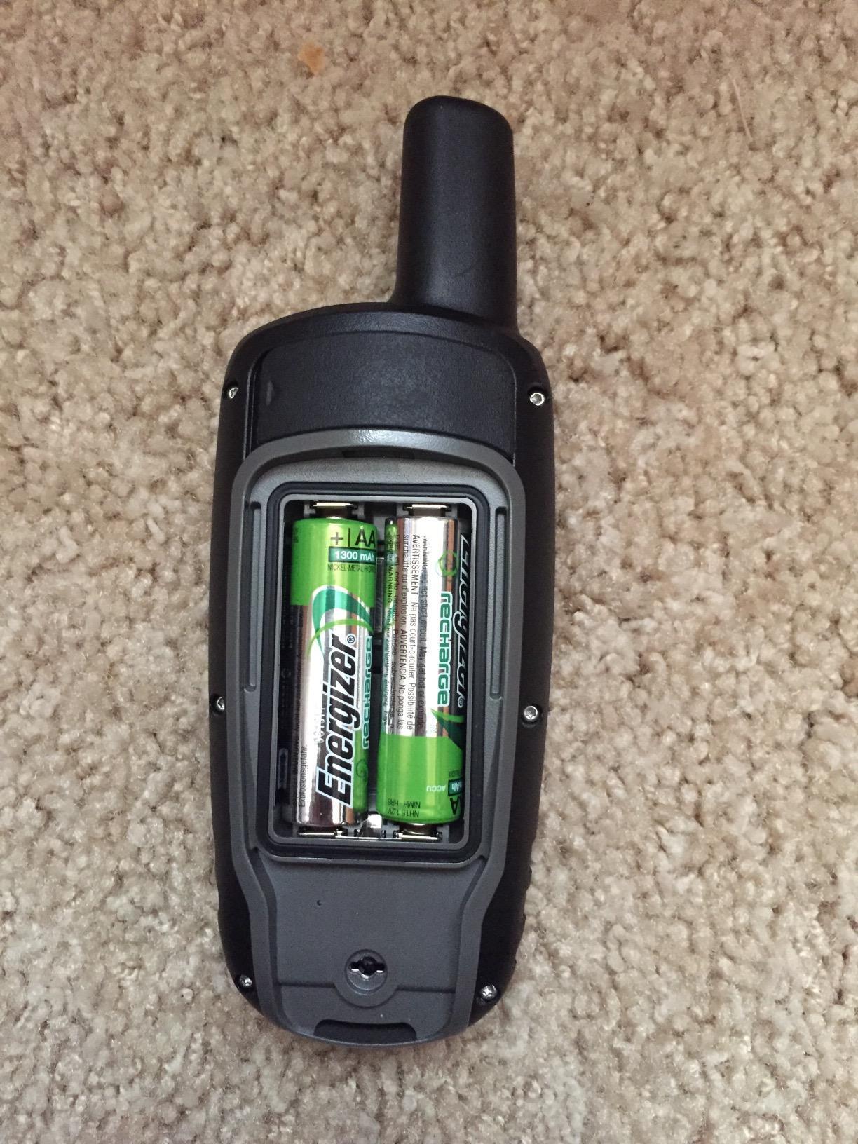
The transflective 65K color screen is sunlight readable in a way that backlit panels struggle to match, and the dual battery system accepts 2 AA cells or an optional rechargeable NiMH pack charged in the device. A 3-axis electronic compass and barometric altimeter give you heading and elevation data while stationary, which is useful for reading terrain and shooting conditions.
Bluetooth Smart and ANT+ support handle smart notifications, Live Track and optional sensors, so the unit can pass your phone notifications through while still working as a standalone GPS when there is no signal.
Who the GPSMAP 64st suits
It suits hunters who cover long distances between blocks and want one device in the cab and another in the pack, or simply one device that does both. Owners who value a transflective screen for glare will appreciate it in open sagebrush country.
It also suits anyone who prefers mature hardware over a new release cycle. This platform has a long record in the field, and spare mounts and known workarounds are easy to find.
Where the GPSMAP 64st frustrates people
The loudest complaint by a wide margin is the bundled 100K topographic map, which many hunters find far too coarse for trails and backcountry detail. Budget for a detailed 24K map set on a microSD card before your first trip, and note that there is only one card slot, so the map card occupies your expansion.
The interface and the older desktop software are also described as dated, with a learning curve for waypoint and text entry, and the 160 by 240 screen resolution looks coarse next to anything current.
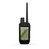
7. Garmin Alpha 200i – Built for Hound and Cat Hunters
Garmin Alpha 200i Dog Tracking Handheld, Utilizes inReach Technology, Sunlight-readable 3.6″ Touchscreen (010-02230-50)
3.5-inch touchscreen
Tracks 20 dogs at 9 miles
inReach SOS and messaging
20 h battery life
Pros
- Monitors up to 20 dogs with 2.5-second update rates at up to 9 miles
- Side buttons allow tone and stimulation changes without removing gloves
- Built-in satellite SOS and two-way messaging
- Hunt Metrics shows each dog's daily pattern
Cons
- Cannot load onX maps
- Paid subscription required for satellite features
- Heavier than a general handheld at 1.2 pounds
If you hunt with hounds or with cats, nothing else on this list comes close. The Alpha 200i monitors and updates up to 20 dogs from as far as nine miles away at a 2.5-second update rate, which is the difference between knowing where your dog is and hearing a bell an hour later.
Owners upgrading from an earlier Alpha call out the larger, more readable 3.5-inch capacitive screen and the far more responsive touch response. The dedicated side buttons let you scroll through dogs and change stimulation or tone levels quickly, which is exactly the kind of control you want when your hands are cold and the dogs are working.
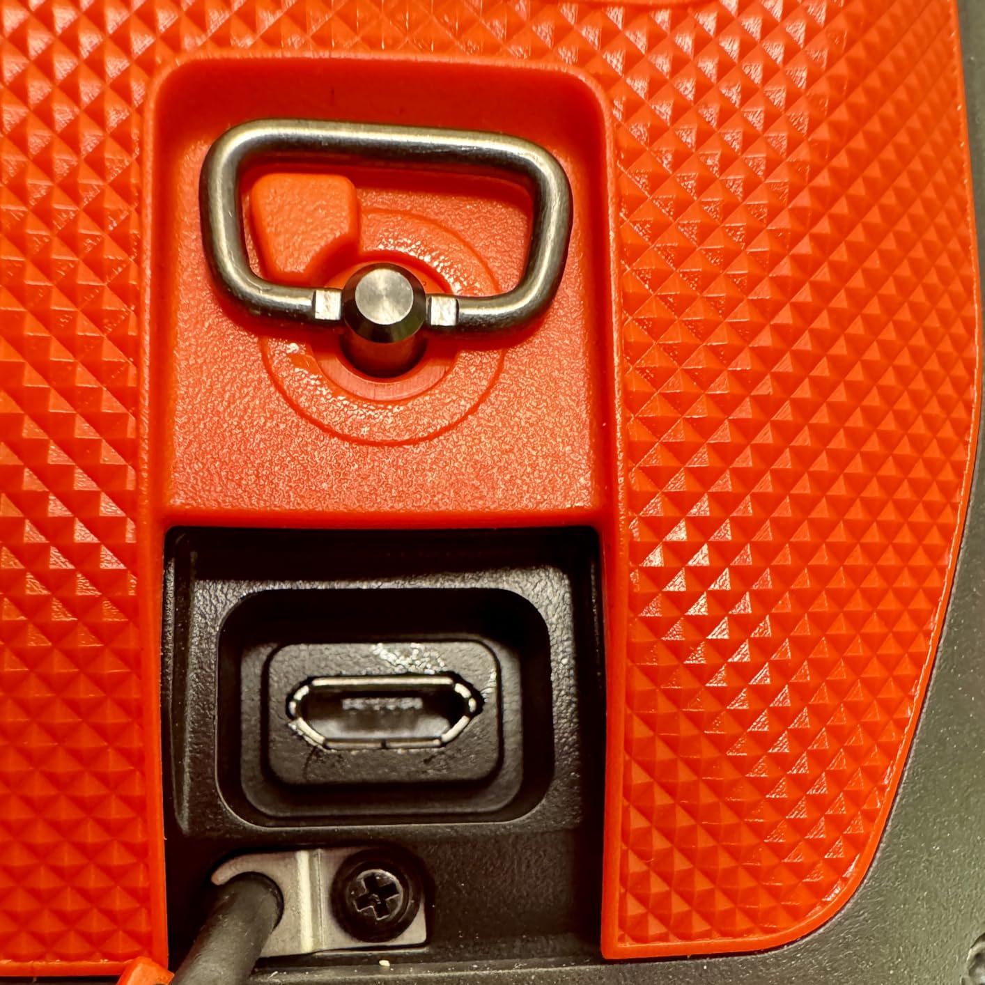
Safety is built in, with interactive SOS alerts and two-way messaging over the Iridium network, so a lost dog in remote country is a message rather than a search you start on foot. The user-replaceable battery runs up to 20 hours, dropping to about 15 with inReach enabled.
Hunt Metrics is the sleeper feature for anyone managing several animals. It records each dog’s daily patterns and behaviour per hunt, so you can spot fatigue, injury or a dog that has lost interest before it becomes a problem on the ground. The unit stays backward compatible with existing Alpha collars.
Who the Alpha 200i suits
It suits hound hunters, cat hunters, and anyone whose safety plan depends on knowing exactly where an animal is at a given moment. Preloaded topographic mapping and satellite imagery downloads mean you get real navigation alongside the tracking, not a tracking-only device.
It also suits people already invested in the Alpha collar ecosystem, since existing collars and compatible devices carry over rather than becoming obsolete.
Where the Alpha 200i frustrates people
It cannot load onX maps, and a lot of hunters prefer that layer to Garmin’s own topo imagery. If your scouting workflow depends on a particular map style, check that before committing.
Satellite features need a paid subscription, and firmware frequently arrives outdated enough to require an update before first use. At 1.2 pounds it is also heavier than a general-purpose handheld, and the screen can be triggered by a case or pocket unless the lock is engaged.
8. Garmin Rino 750t – Voice Contact for the Whole Hunting Party
Garmin Rino 750t Two-Way Radio with Topo Mapping
5-watt GMRS radio, 20 miles
3-inch touchscreen
Lithium-ion or AA power
Topo maps with relief
Pros
- Five-watt GMRS radio gives voice contact across up to 20 miles of open terrain
- Position reporting shows where other users on the channel are
- AA batteries accepted for cold conditions
- Bluetooth headset support for hands-free voice
Cons
- AA batteries not included with the unit
- Three-inch screen is small for topo detail
- Range is line-of-sight and collapses in heavy timber
The Rino 750t answers a question the other units here do not, which is how you talk to the rest of your party. The five-watt GMRS radio carries voice up to 20 miles, and unit-to-unit text messaging works when you would rather not transmit out loud across a valley.
Position reporting is the feature hunting parties care about most. Devices on the same channel can see where each other is, so a group spread across a basin knows without asking that a buddy is still at the truck. Preloaded 100K topographic maps and a worldwide shaded-relief basemap cover navigation duty.
Who the Rino 750t suits
It suits groups hunting together, particularly two or three people who want navigation and communication in one device instead of a radio plus a GPS. Bluetooth headset support means you can keep your ears covered and your hands free while navigating.
It also suits hunters who need to warn a partner about moving game without shouting, since a silent text on a channel is discreet in a way a shout is not.
Where the Rino 750t frustrates people
Range is the honest limit. It is line-of-sight radio, and that figure collapses in dense forest or behind a ravine wall, which is precisely the terrain some hunters care about. AA batteries are an option in cold conditions but are not included with the unit.
The three-inch screen is small for reading topographic detail or typing messages, and the bundled 100K topo layer is too coarse for trail-level navigation without adding a more detailed map. Review volume here is the thinnest of any product in this roundup, so weigh the rating lightly.
9. Garmin Oregon 600 – Shared Waypoints Between Two Hunters
Garmin 010-01066-00 3-Inch Oregon 600
3-inch multi-touch display
Dual-band GPS and GLONASS
3-axis compass and altimeter
16 h on 2 AA
Pros
- Wireless sharing of routes
- tracks
- waypoints and geocaches between units
- Three-inch multi-touch screen that rotates between horizontal and vertical viewing
- Full sensor suite for heading and altitude
- Dual AA or optional NiMH battery
Cons
- Only 1.5 GB of internal storage
- Worldwide basemap rather than preloaded topo maps
- Older design with dated menus and software
The Oregon 600 earns its place through one feature the roundup otherwise lacks: wireless sharing. Using ANT+ or Bluetooth you can push routes, tracks, waypoints, geocaches, custom maps and photos straight to a partner’s compatible unit when you are standing next to each other, which is how a group divides up a day’s assignments before the walk in.
Positioning is dual-band GPS and GLONASS, and the sensor package is complete, with a 3-axis compass, accelerometer and barometric altimeter. The three-inch multi-touch screen rotates automatically between horizontal and vertical viewing, which is useful when you mount the unit on a chest harness or a pack lid.
Who the Oregon 600 suits
It suits two-hunter teams and family groups who want the same set of waypoints on two devices without emailing files. A couple hunting separate corners of the same property gains a lot from that.
It also suits anyone who wants heading and altitude data without a separate altimeter, and anyone who prefers tap-to-zoom navigation to button menus in mild conditions.
Where the Oregon 600 frustrates people
Storage is the biggest limitation. With 1.5 GB of internal space you will need a microSD card for anything beyond the bundled worldwide basemap, and the bundled basemap is not topographic, which is a real limitation for backcountry hunting.
The capacitive touchscreen is hard to operate accurately with gloves on or in cold rain, which is the opposite of what you want in a November stand. The design is also several generations old, and the interface and desktop software reflect that. It scores lowest in this group, so treat it as a value play for mild-weather group hunting rather than a serious backcountry unit.
10. Garmin Oregon 550T – Geotagged Photos of Beds, Sign and Trail Cameras
Garmin Oregon 550T 3-Inch Handheld GPS Navigator with 3.2MP Digital Camera (U.S. Topographic Maps)
3.2 MP geotag camera
3-inch color touchscreen
3-axis compass
U.S. topo maps preloaded
Pros
- Geotagging camera logs a waypoint and a photo in one device
- Rock-solid tilt-compensated 3-axis compass holds lock in any orientation
- Preloaded U.S. topographic maps
- Waterproof rugged body
Cons
- Camera use cuts battery life sharply
- Resistive touchscreen is slow with gloves or wet fingers
- Only 850 MB internal memory
The Oregon 550T is the oldest unit in this roundup and still solves a specific problem elegantly, which is logging a location and an image at the same time. The 3.2-megapixel autofocus camera has a 4x digital zoom and geotags automatically, so a photograph of a rub, a bedding area or a trail camera carries the coordinates back to it.
For hunters this is more than a gimmick. Sign, scrapes and bedding sites are hard to describe in a notebook and easy to forget by the time you climb into the stand, but a geotagged photo gives you a coordinate you can walk back to on the next scouting trip. Owners with aviation and marine backgrounds single out the compass as the other strength, describing a tilt-compensated 3-axis unit that holds a lock in any orientation.
Who the Oregon 550T suits
It suits bowhunters whose scouting method is visual. If you photograph game and ground rather than logging coordinates, this unit captures both in one action and costs far less than a modern camera-equipped handheld.
It also suits anyone who values a genuinely waterproof, rugged body and a barometric altimeter that plots pressure over time, which helps you judge how weather is moving into a basin.
Where the Oregon 550T frustrates people
The camera is the battery problem. Owners who shoot frequently report runtime falling to roughly eight hours, which is a hard limit on a multi-day hunt where the camera is your scouting tool.
The resistive touchscreen is noticeably slower than capacitive glass and is awkward with gloves or wet fingers, and internal memory is only 850 MB with the microSD slot buried under the battery pack. The software and the original chassis design both feel dated, and a small number of one-star reports describe units that stopped powering on mid-trip, so buy with a return option.
Handheld GPS vs. Hunting Phone App: What to Carry
The honest answer is that the two are not competitors so much as different answers to different problems. Use a hunting app for scouting from home, because satellite imagery and property boundaries show far better on a large phone screen and update without any file management.
Where the app falls short is the field. Phones lose signal entirely, and cold drains the battery faster, and once the screen is wet or your gloves are thick, the touchscreen stops cooperating. A handheld runs on replaceable batteries in some cases, works with gloves in all cases that use buttons, and has a transflective screen in direct sun.
Many hunters in the forums reach the same conclusion, which is to carry both and split the duty. Plan and scout on the phone, carry the handheld for the part of the trip where getting lost or calling for help actually matters. We use the same two-device thinking when testing smaller gear, as in our handheld vacuum comparison: each tool solves one job, and the mistake is expecting one to do both.
There is one hybrid worth naming, the satellite messenger used alone. A dedicated inReach-style communicator does nothing for navigation but is small and light enough to carry as a backup to a phone in country with no coverage.
How to Choose a Handheld GPS for Hunting
The order of the decisions below matters more than any single spec. Work through them in sequence and the right model usually makes itself obvious before you reach the checkout page. If you want to see how a device is judged once the shortlist is made, our handheld shower head roundup shows the same testing discipline applied to a much simpler product.
Decide on satellite messaging before anything else
If you hunt alone, remote hunting is the deciding feature and should drive the whole purchase. An interactive SOS that reaches a staffed monitoring centre is worth more than any extra screen inch, and the difference between an alert and a coordinated rescue is the whole point. If you always hunt within coverage with a group, you can skip this and put the money into accuracy and battery instead.
Remember that satellite features are dormant without an active subscription. That recurring cost is what generates the most resentment among hunters who use a device for a handful of days a season, so decide honestly whether you will actually send check-ins.
Multi-band versus multi-GNSS accuracy
These terms sound similar and are not. Multi-GNSS means the receiver listens to several satellite constellations such as GPS, GLONASS, Galileo and QZSS. Multi-band means it listens on two frequency bands at once, which is what produces the tight fix in canyons and heavy canopy, with accuracy around six feet in the models we tested that support it. If your ground is steep, wooded or crossed by drainages, multi-band is worth paying for.
Screen type and glove operation
This is the single most important decision after messaging, and it is a straight trade. Touchscreens give fast data entry and bigger map detail but fail with thick gloves and bare hands in real cold. Buttons always work and make marking a waypoint slower. Most serious bowhunters we talk to end up on buttons for the stand phase, and only the Montana class of device for driving and scouting.
Battery type and cold-weather behaviour
AA-powered units win twice, because you can carry spares and keep them warm in a jacket pocket. Rechargeable lithium-ion units give you longer expedition-mode runtimes, which matters for multi-day trips, but a dead lithium pack with no way to swap it ends your trip short of the truck. Check the expedition-mode figure as well as the GPS-mode figure, since a three-day bow camp is the real test.
Mapping, memory and photo documentation
Decide how much mapping you actually need resident on the device. 8 GB is enough for one region plus a detailed map card, 16 GB covers two, and 32 GB on the Montana 760i lets you stop choosing. If your scouting method involves photographs, a geotagging camera turns a trail camera or a bedding area into a coordinate you can return to.
Budget time for the map transfer itself. Friction around identifying, selecting and transferring the right map area is the most common complaint we saw from owners, and it hits every brand equally.
Waypoint workflow and the hunting task list
Before you buy, picture the five things you will do with the device: mark a stand, mark a bedding area, log game sign, follow a blood trail, and find your way home in the dark. Run that list against the button layout. A unit that takes nine presses to save a waypoint is one you will not use, and an unused GPS is just a paperweight.
Frequently Asked Questions
What is the best GPS device for hunting?
The Garmin GPSMAP 66i is the best all-around hunting GPS because it combines a full topographic navigator with two-way satellite messaging and an interactive SOS button in one device. Hunters who want the highest position accuracy in canyon and timber should look at the GPSMAP 65s, which adds multi-band GNSS. Hunters on a tight budget who just want reliable standalone navigation should start with the eTrex 22x.
Which handheld GPS is most accurate?
The Garmin GPSMAP 65s is the most accurate unit in our roundup. Its multi-band receiver tracks GPS, GLONASS, Galileo and QZSS simultaneously, which produces position fixes of roughly six feet and holds signal even under a partially obstructed sky. That accuracy is a real advantage in steep country, urban canyons and dense forest where single-band receivers drift.
Can you use the Garmin GPSMAP 66i without a subscription?
Yes, partly. The 66i plots your position, records tracks and runs its preloaded topographic mapping and free direct-to-device BirdsEye satellite imagery downloads with no subscription at all. The paid plan is only required for the satellite features, meaning two-way text messaging, location tracking and interactive SOS. The BirdsEye downloads are one-time transfers over Wi-Fi rather than an annual service.
Is a handheld GPS outdated compared with a phone app?
No. For field use a handheld is still ahead in several ways: it works with no cell coverage, runs for days on replaceable AA batteries in some models, works with thick gloves if it has buttons, and often has a transflective screen that stays readable in direct sun. A phone app is still better for scouting at home, which is why many hunters carry both and use the app to plan and the handheld to find the route.
What is the easiest GPS to use for hunting in the backcountry?
The easiest choice depends on your conditions. In mild weather, the touchscreen Oregon 600 and Montana models are quickest because you can tap to zoom and type names fast. In cold weather with gloves on, a button-operated unit such as the GPSMAP 65s or eTrex 22x is easier in practice, because capacitive screens stop responding. Whichever you pick, do your map downloads at home rather than in the field.
How do I mark tree stands and bedding areas on a handheld GPS?
Create a waypoint where you are standing, then give it a short name you will recognise later such as the stand number or the buck sign. Store it into a field or collection dedicated to that hunt so it does not get buried in a general list. Repeat the process for bedding areas and game sign clusters, and take a geotagging photo at the same time on models with a camera so you can identify the site later.
Do I need extra batteries for a multi-day backcountry hunt?
Yes, carry spares regardless of the rated battery life. Rated figures assume a specific tracking interval and a modest backlight setting, and real numbers drop when you use multi-band, a bright backlight or the camera. If your unit runs on AA batteries, carry a spare set kept warm in an inside pocket. If it uses an internal lithium-ion pack, consider a small solar panel or power bank as a backup because the internal battery is not user-replaceable.
Which handheld GPS works for international hunts in Africa, Alaska or Canada?
The Garmin GPSMAP 66i is the most commonly recommended choice for international hunts because it carries free direct-to-device BirdsEye satellite imagery that does not depend on a subscription. Owners report it working well in Africa and other international country. Check map coverage for your specific destination before buying, since mapping outside North and South America often requires an additional map set, and confirm local rules on satellite communication devices.
Conclusion: The Best Handheld GPS Units for Hunting in 2026
The Garmin GPSMAP 66i is our pick for the best handheld GPS units for hunting in 2026, and the reason is narrow and specific. It plots your position on a topographic map and reaches a staffed rescue centre from the same body, which removes the need to choose between the two.
Buy the GPSMAP 65s instead if accuracy in canyon and timber country is your deciding factor, or if you want AA batteries and buttons you can work with gloves on. Buy the eTrex 22x if you want a dependable standalone GPS at the low end of the price range and do not need messaging at all. The Montana models, the Alpha 200i and the Rino 750t each earn a place for a specific hunt type: big screens, hound country, and hunting parties respectively.
Whichever you choose, do the map downloads at home, mark your stands and bedding areas before the season starts, and carry spare batteries. Recovery planning matters on multi-day trips too, and our EMS unit guide for muscle recovery covers the soreness side of a week in the field. Used that way, any of these units will still be running on the morning you need it.